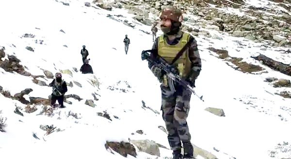
Dehradun, Aug 6 (UNI) Amid rescue and search operations launched by teams of Indian Army and state disaster management department at landslide-hit Dharali suburb market in Uttarkashi, major rivers are flowing above danger marks in the hills and downstream areas. Almost all major rivers in Ganga basin are flowing with the risk of developing into a severe situation.
A bulletin issued by the Central Water Commission on Wednesday morning said the water level in Ganga and other major rivers in Uttarakhand’s Garhwal region has crossed the danger mark owing to heavy rains in higher hills. The commission bulletin on Wednesday morning signaled flood-like situation in Haridwar as water level in all major Ganga basin rivers showed rising or steady trends.
The Banganga, a tributary of the Ganga river basin in Haridwar, continued to flow in “severe situation” in the morning. Its water level was recorded at 231.69 metres which is continuously rising at the rate of 40.01 mm per hour and 0.69 metres above its danger level of 231.0 metres.
The Bhagirathi (as the Ganga is known in the hill areas) in Ganga basin at Devprayag was flowing in severe situation on Wednesday. Water level in Gamfa at Devprayag was recorded at 464.3 metres with a steady flow trend, which is 1.30 metres above the danger mark of 463.0 metres.
Other basin rivers flowing above Danger levels included the Alaknanda and Mandakini in Rudraprayag district. The Alaknanda water level at Rudraprayag was recorded at 627.6 metres, .06 metre above the danger level of 627.6 metres.
The Mandakini that turned sorrow of Uttarakhand in the 2013 deluge, too, continued to exhibit severe flow situation in the hills of Rudraprayag at Gaurkund near Kedarnath, said the Central Water Commission’s morning bulletin. The water level of Mandakini was recorded at its danger level of 1976.8 metres with a steady flow trend.
According to the flood forecast bulletin of the commission Mandakini River flow in Rudraprayag town continued in ‘severe situation’ with water level recorded at 626.3 metres. This was .30 metres above the danger mark of 626 metres.
Although Ganga Basin rivers were flowing above danger marks, their water levels were still lower than the highest flow levels(HFL) in the past. These rivers recorded their highest water flow levels in 2013 when the Himalayan state witnessed its worst wrath of the nature, killing thousands of people.

